The solar eclipse of March 17, 98 BCE was either a total eclipse or a very nearly total annular eclipse. (As it turns out it was a hybrid eclipse that was mostly annular. Its path was quite a bit to the north of the Nazca Lines near Lima Peru) It was followed less than four years later by a total solar eclipse occurring om December 23 of 94 BCE (very near the summer solstice in Peru) and yet another total solar eclipse in May, 83 BCE. (The 94 BCE summer solstice eclipse occurred directly over the area where the Nacza Lines were constructed and may have inspired some of the biomorph geoglyphs which have solstice alignments built into them or closely associated with them as well as more construction of lines with appropriate astronomical alignments.)
 Click on the above map to see it in full resolution. The Nazca Lines are found on the plain marked by a faint X under Changuilla to the left of the town of Nazca on the far left side of this Google Maps solar eclipse track map helpfully provided by the good people at NASA. The center-line of the December 23, 94 BCE total solar eclipse passes directly over the Nazca Lines in this screen-shot of the Path of Totality of the December 23, 94 BCE total eclipse of the sun.
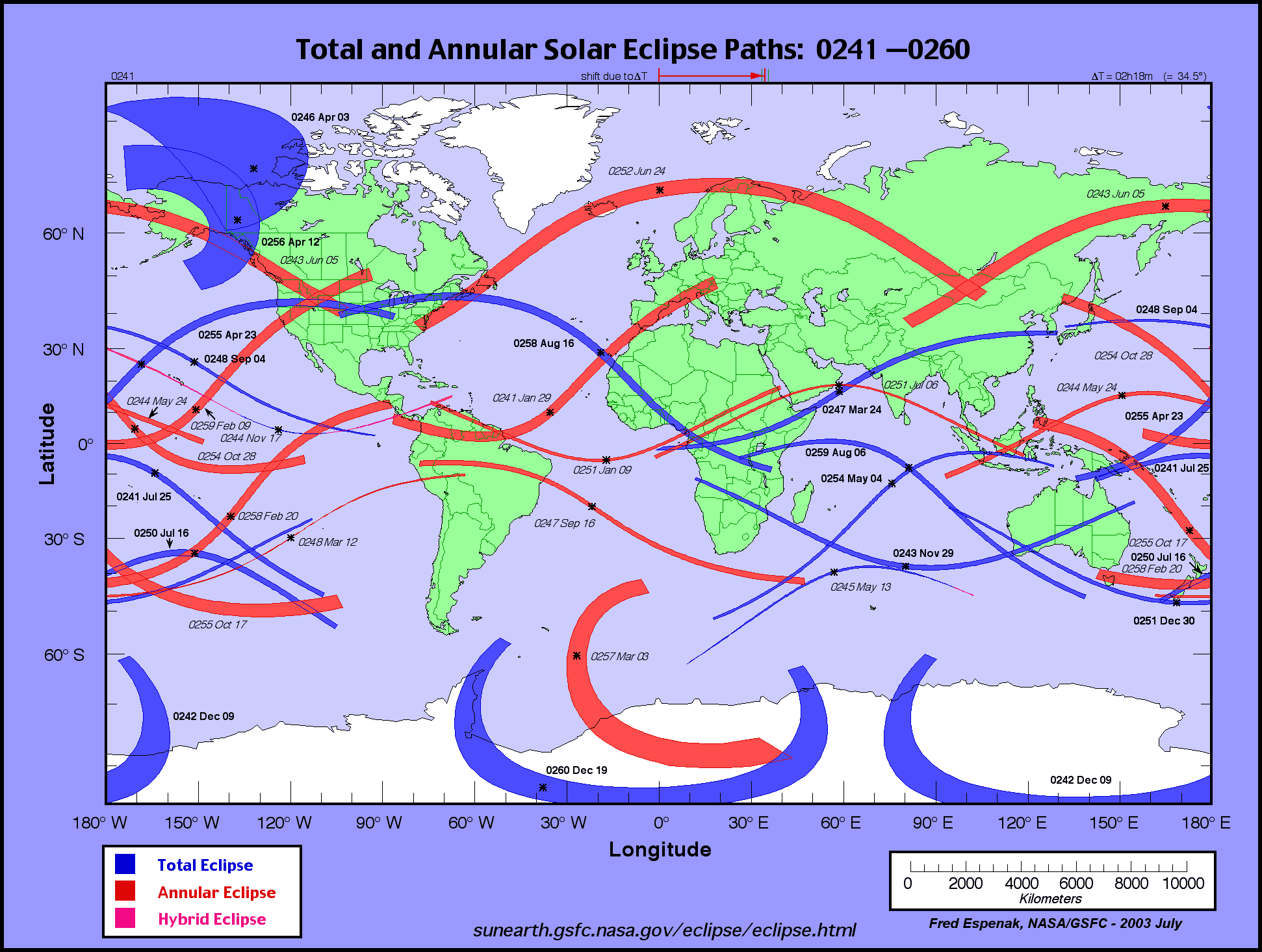
 Annular eclipses occurred in southern Peru on November 01, 54 BCE, January 26, 27 CE, and January 5, 56 CE. (It should be noted that the total solar eclipse which occurred to the south of the Nazca Lines on April 8, 42 CE, may have had some impact on the region.) This was followed by a full century without any solar eclipses until a total eclipse occurred somewhat to the north of the Nazca lines on January 4, 157 CE. An annular eclipse followed shortly thereafter to the north (over Huacho and Lima) on Nopvember 15, 160 CE. Then two total solar eclipses took place within a year and a half, the first on June 3, 178 CE, and the second on November 16, 179 AD. The fact that these two total solar eclipses occurred in such rapid succession may have prompted a resurgence of line and animal figure ground drawings in the latter half of the 2nd century CE.

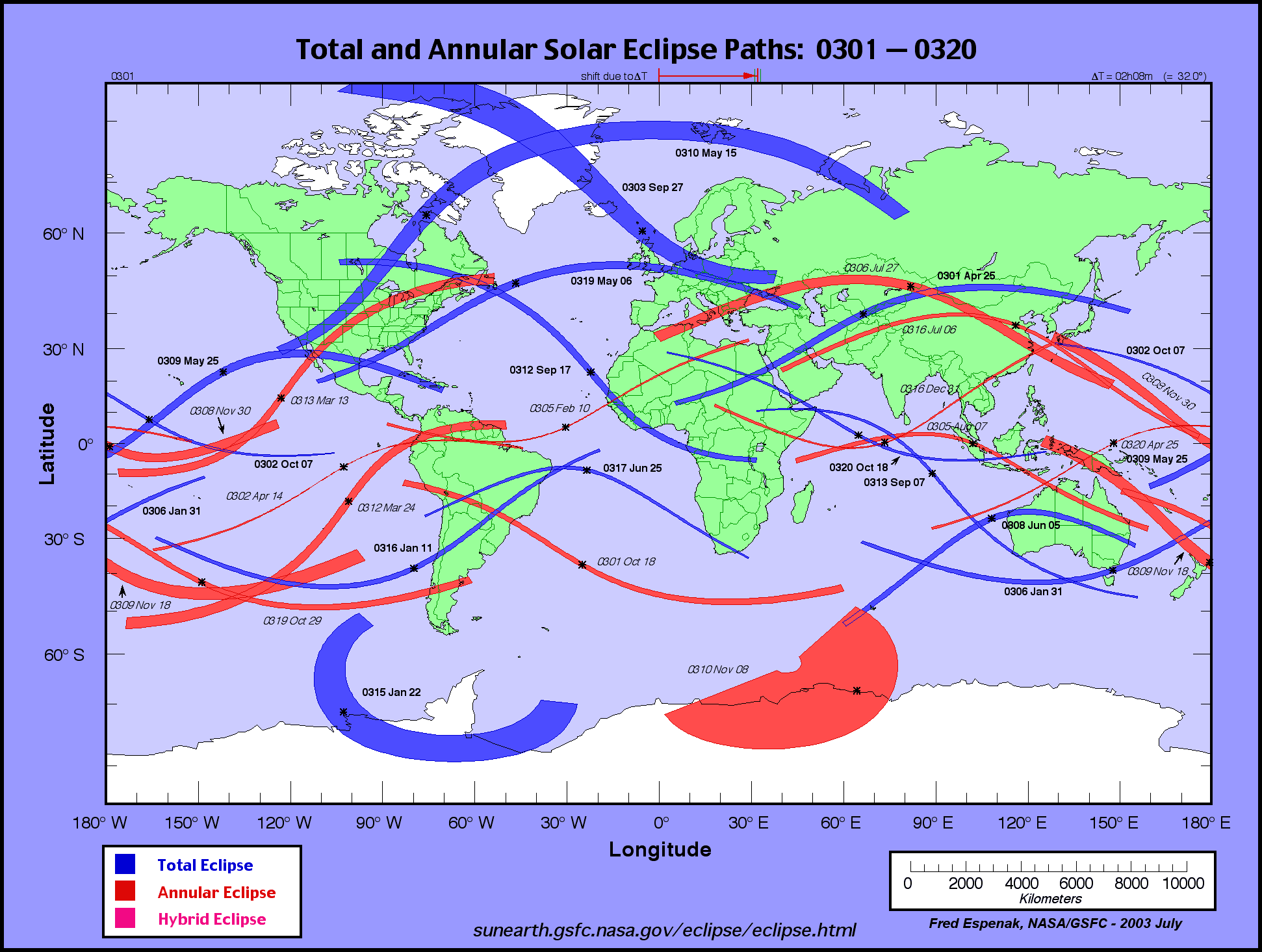
 There was then a forty year hiatus until there was another total solar eclipse to the south of the Nazca Lines on April 12, 218 CE. This total eclipse was followed by another total eclipse on July 15, 223 CE to the north, once again in the region of Lima and Huacho.
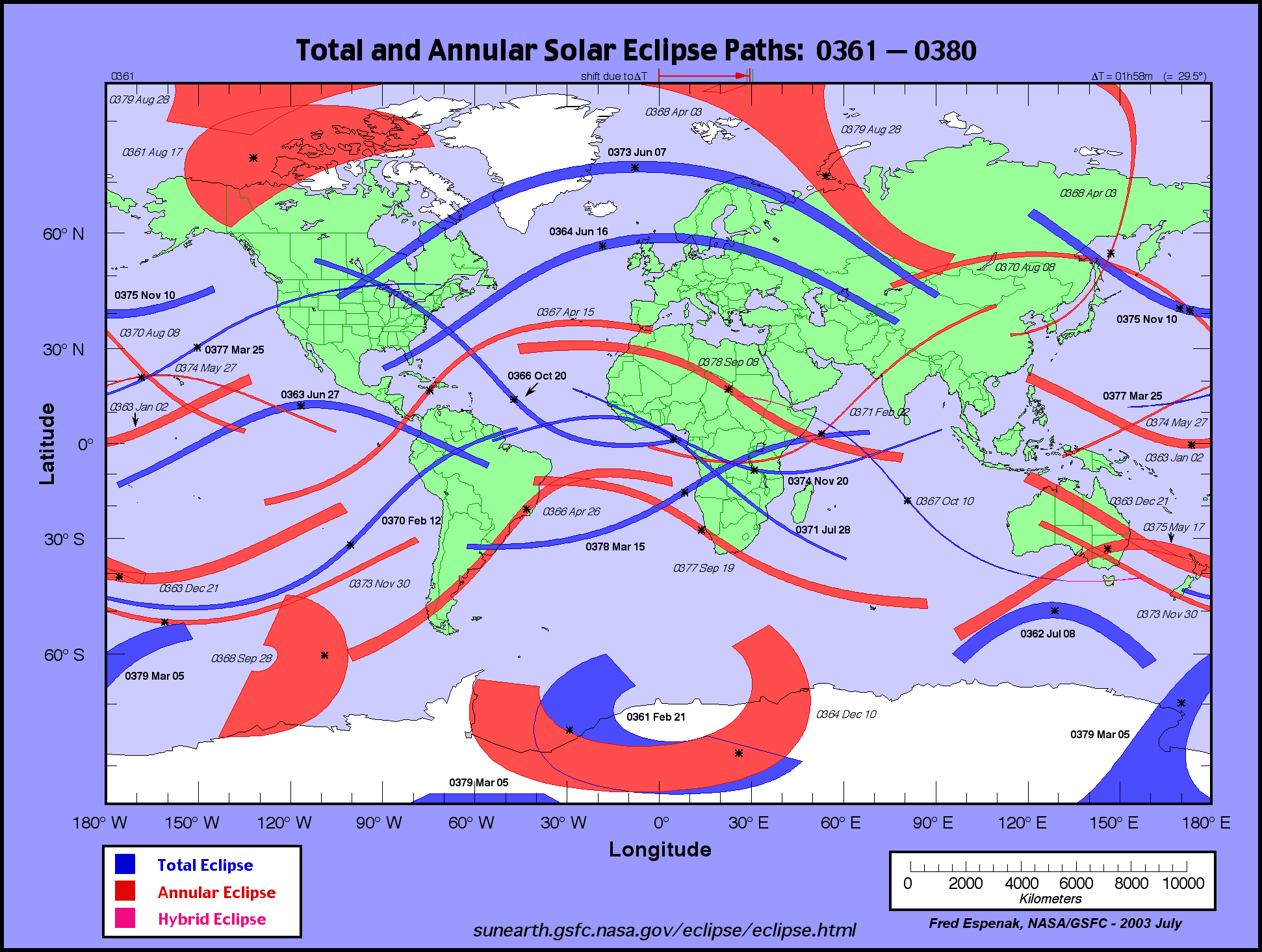
 Other major solar eclipses occurred in the region in the years 248, 301, 317, 342, and 370 CE. The total solar eclipses of April 12, 218 CE, and February 21, 342 CE, are shown to have occurred directly over the Nazca lines according to Theodore von Oppolzer's charts of solar eclipse tracks. (According to the NASA maps the 218 eclipse was quite a bit to the south while the 342 eclipse was just north of the Nazca Lines) A modern computer program could no doubt generate more accurate data about the time and the track of the penumbra of all of the various solar eclipses that occurred in the region of the Nazca Lines but, regrettably, I do not have access to such an advanced astronomical program at this time. (Thank you Fred Espenak aka Mr. Eclipse and all you other NASA people for making my updated eclipsology research a breeze!)
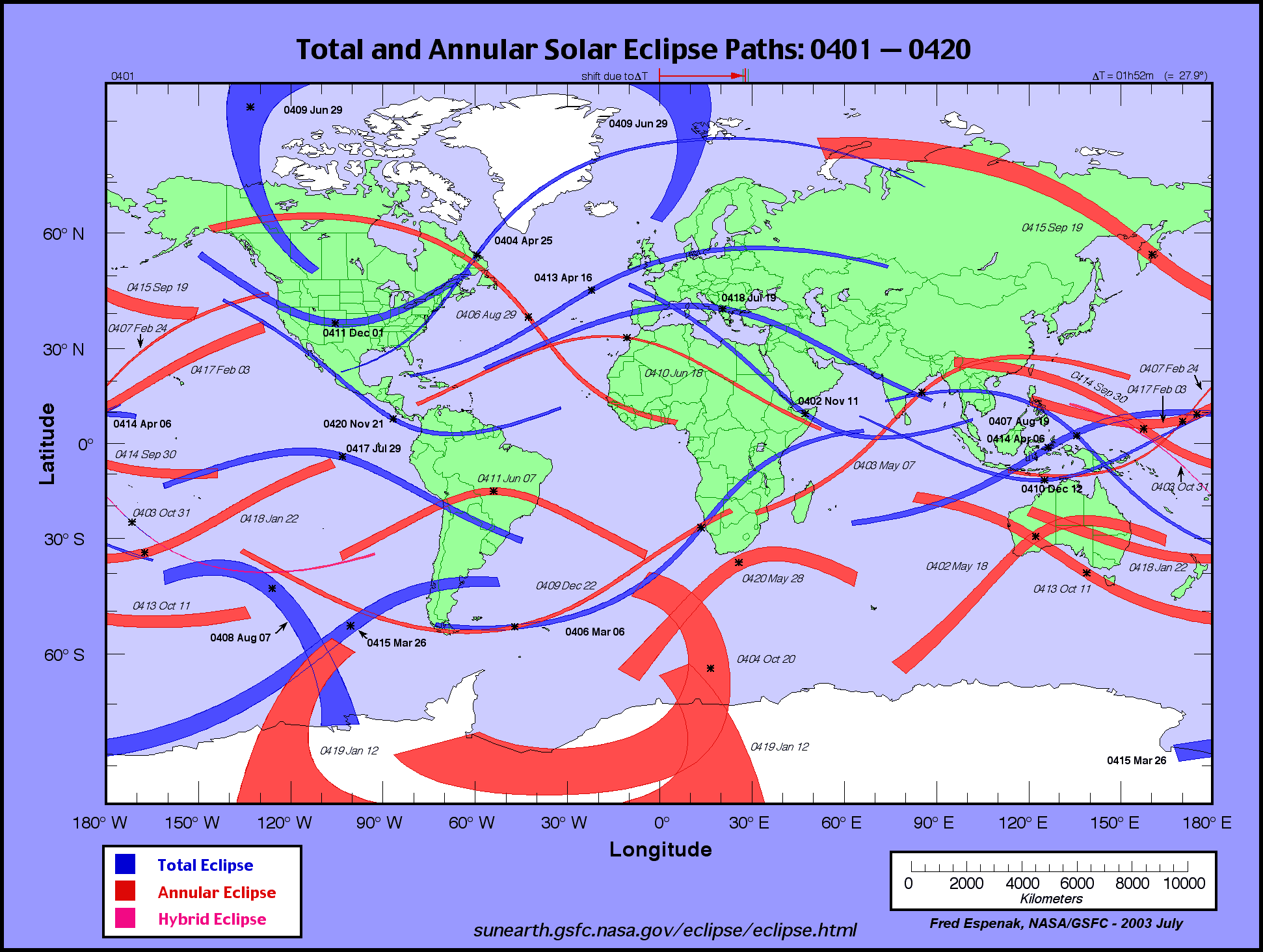
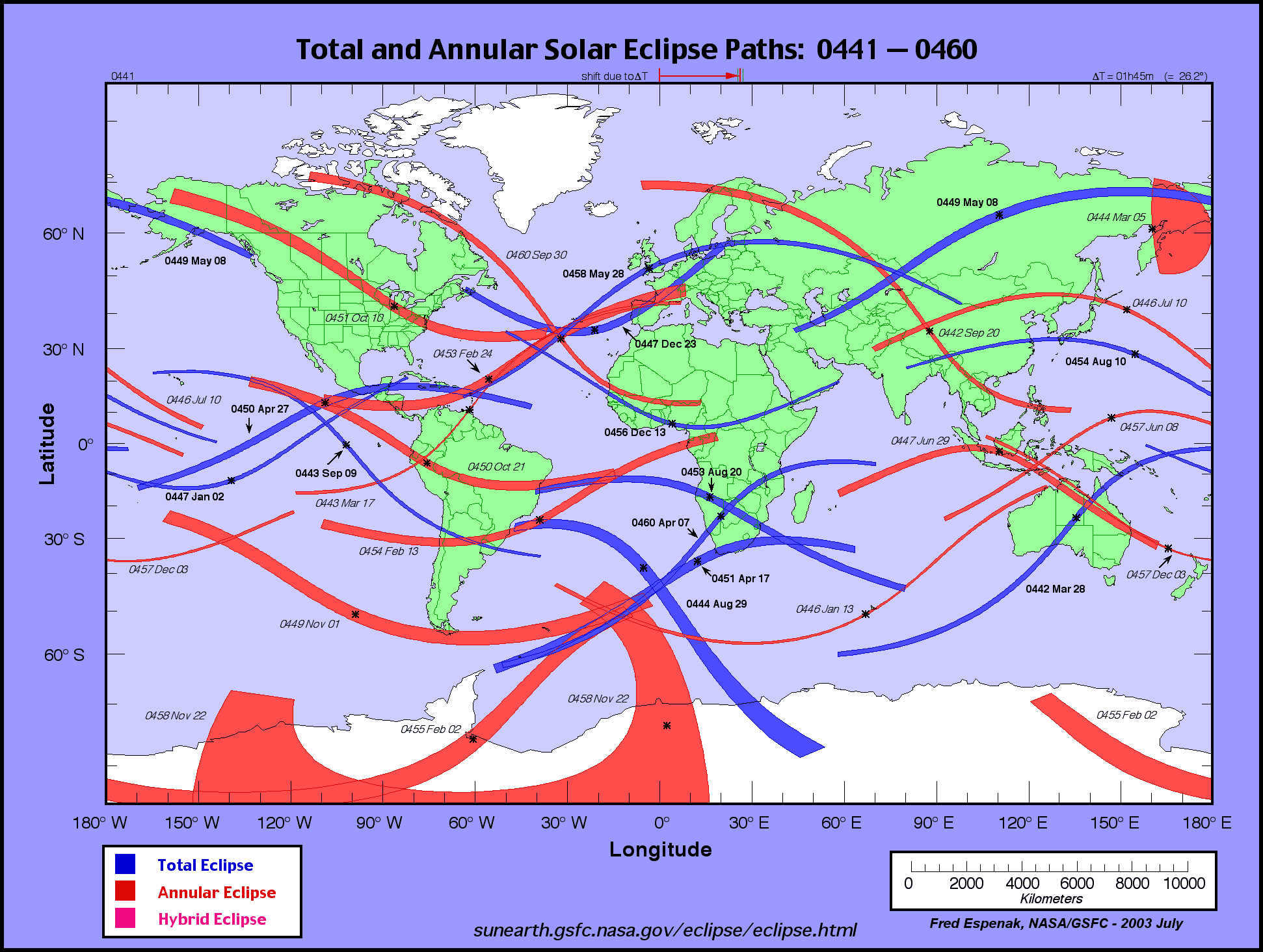
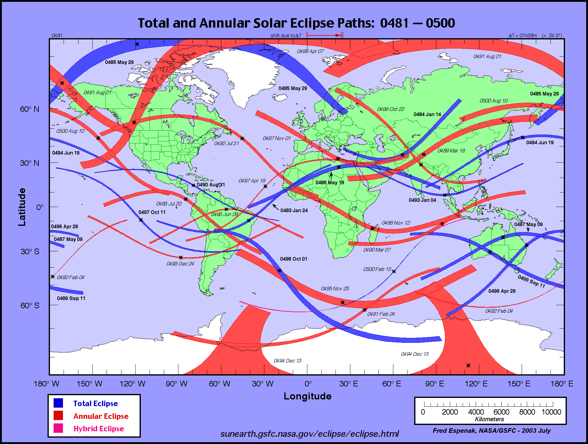
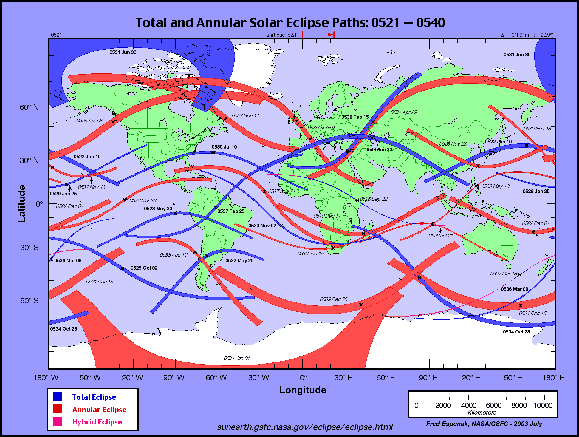
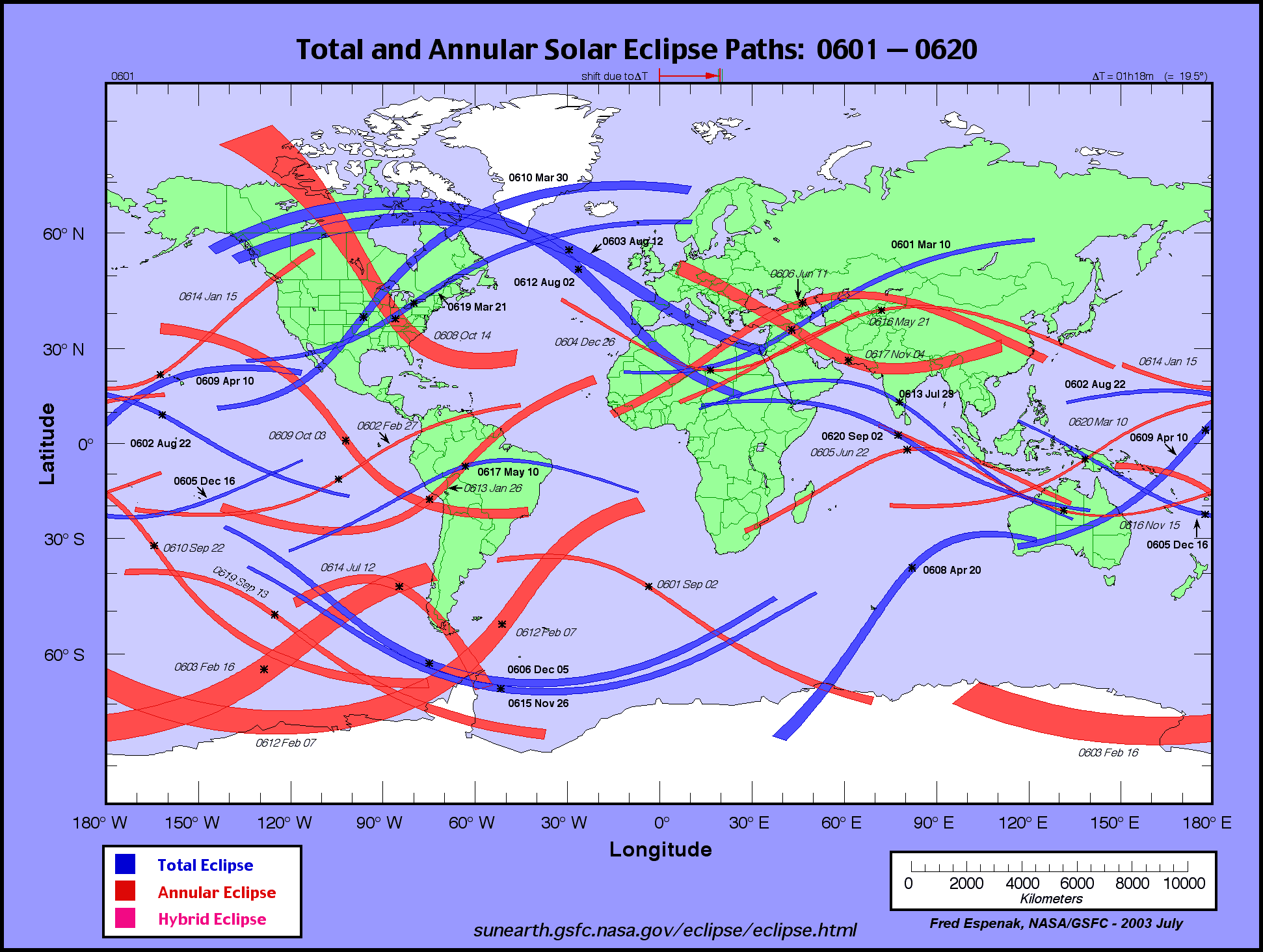
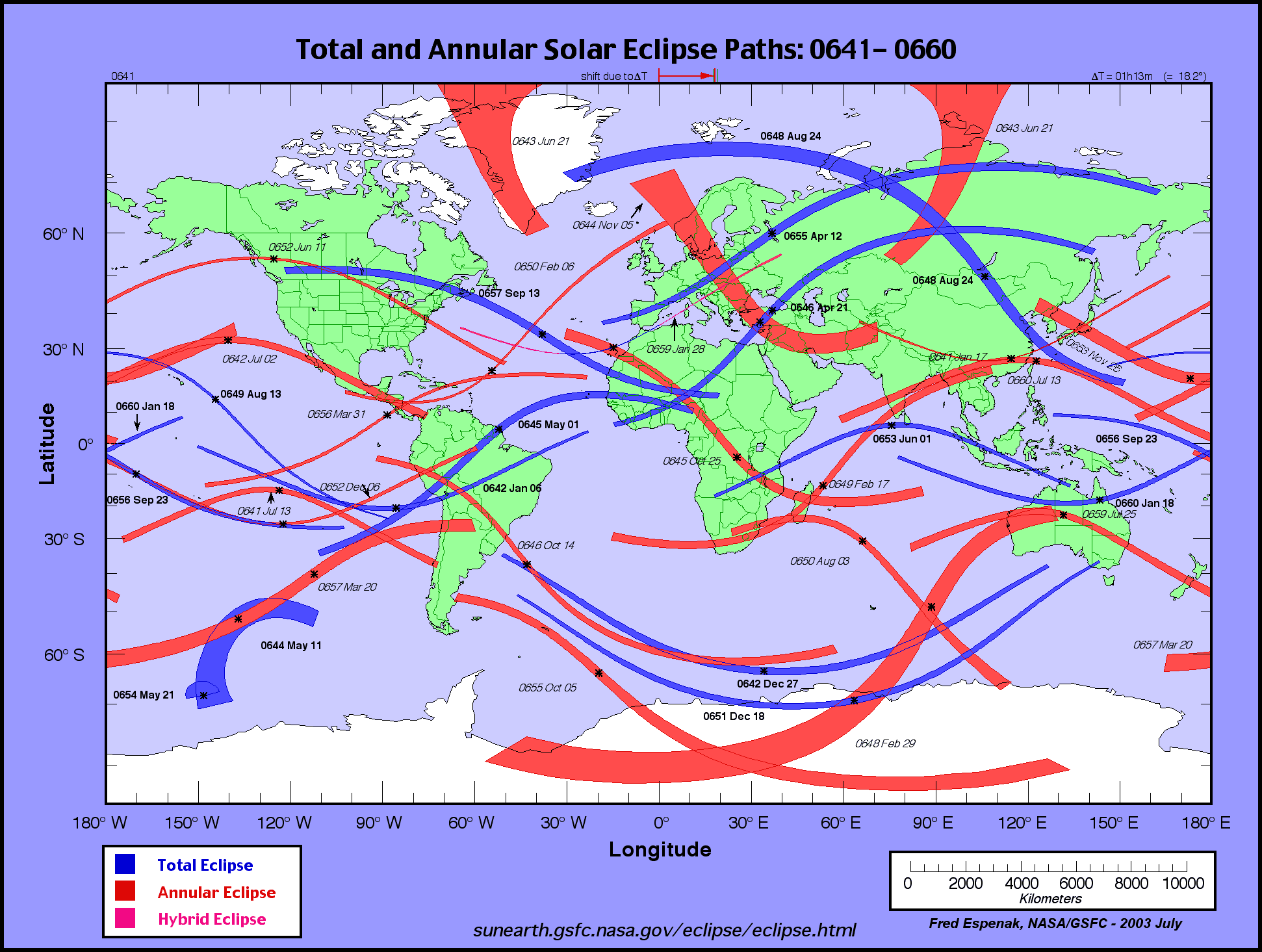
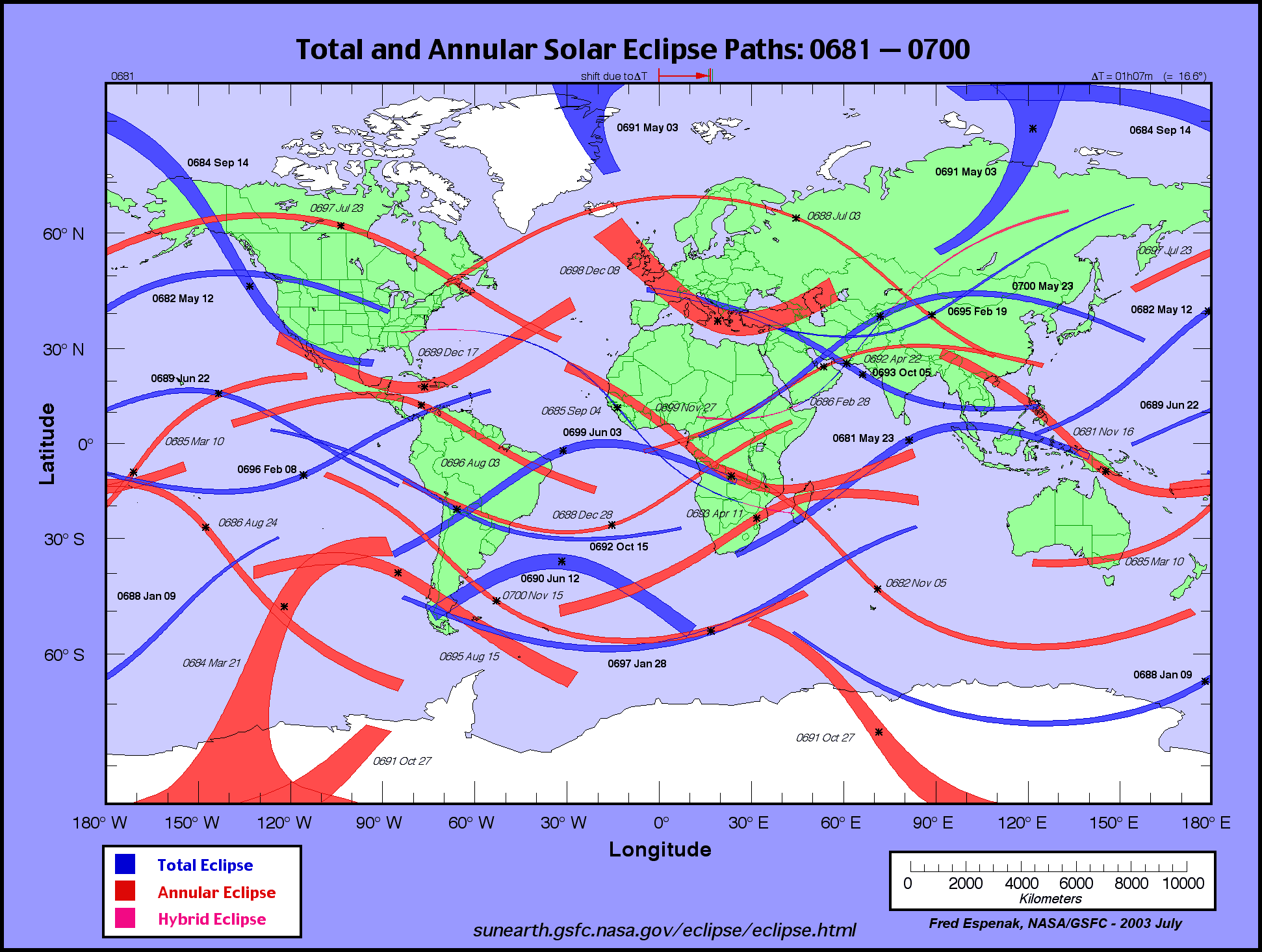
 While some of the cruder geoglyphs at Nazca were probably created before the birth of Jesus of Nazareth most archaeologists believe that their highest development was between the years 400 and 700 CE. According to Theodore von Oppolzer's Canon der Finsternisse less than seven major eclipses of the sun occurred within the greater region around the Nazca Lines in the 5th century CE (i.e. 411, 417, 421, 443, 450, 478 (total near Nazca), 483, 493 (north) & 497 CE); eight solar eclipses occurred in the 6th century CE (i.e. 504 (508 south), 523, 537 (total near Nazca Lines), 544, 548, 558, 587 (592 & 591 too)& 598 CE); and a truly remarkable thirteen solar eclipses darkened the skies over southern Peru in the 7th century CE (i.e. 609, 613, 617, 642, 645, 646, 652, 661, 667, 668, 688, 692 & 699 CE).
 All of these major solar eclipses would have been potentially visible to the Nazca's and their neighbouring cultures. (i.e. Chavin, Chimu, Ica and Moche etc.) We must not forget that there would quite likely have been some communication with other cultures to the north and south of Nazca. These ancient Peruvian cultures would also have been directly affected by the phenomenon of solar eclipses as is clearly evident from the images appearing on their pottery, textiles, and other artefacts.
Of the seven solar eclipses that occurred in the 5th century four were total and two of these passed directly over the Nazca lines according to von Oppolzer's charts of solar eclipses. The first occurred on April 18, 478 (Julian calendar date), and it was followed by another on January 24, 483. That is two total eclipses of the sun within less than five years. It could thus be quite reasonably expected to have inspired the Nazca Indians to respond once again to this "eye in the sky" by constructing more of the, hopefully now somewhat less mysterious, lines and geoglyphs that are only clearly visible from high in the the air.
One does not need to be able to see such gigantic images from the air to be able to create them any more than one needs to see the clover-leaf pattern of a modern highway overpass system to design and construct one. One simply needs to make a small scale drawing and then lay it out on a much larger scale on the desert floor using the most elementary, indeed rudimentary, surveying techniques. If you were stranded on a desert island that had a nice stretch of sandy beach would you have any difficulty marking out a large S.O.S. signal that was intended to be visible to search and rescue aircraft? Would you waste any time in doing so? I think not.


No comments:
Post a Comment
Give us a piece of your mind.